My Son Sanctuary is located about 25 miles outside of Hoi An. However, given the geography and road system of Vietnam, it takes at least one hour to drive this distance. The direct route takes you on busy highways full of large trucks and speeding motorists. Much safer to go by backroads and enjoy the journey, especially if you are traveling by motorcycle. Depending on your route (and the reliability and consistency of Google Maps), this will take you between 1.5 and 3 hours.
Our Journey to the My Son Sanctuary
Vietnam is a beautiful land, and the region around Hoi An and the Thu Bon river system is no exception. There are several islands in the delta of the river, and the surrounding area is dotted with rice paddies irrigated by channels from the river. It is easy to imagine that some of these fields and channels have been in place for hundreds of years. With such an abundance of water, it goes without saying that there are numerous bridges. The bridges range in size from sturdy concrete highway bridges four lanes wide to rickety steel bridges just big enough for two motorcycles to pass each other.
We started our journey at the western edge of Hoi An, passing over our first bridge onto the islet of An Hoi. This small piece of land is directly across from the historic Old Town and is part of the buffer zone for the Hoi An UNESCO site.
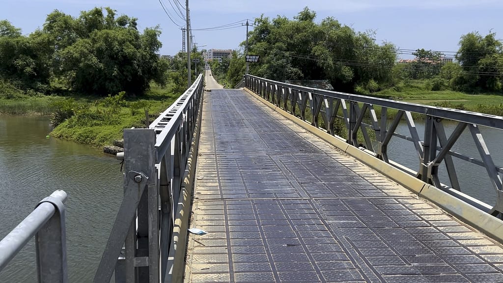
Next, we crossed a longer bridge connecting An Hoi to Cam Kim Island. This bridge is only for foot and bike traffic – and it definitely felt that way. It is a small steel bridge with slats fastened to the trusses to create the road surface. The slats make an alarming racket when you cross over! It was built in 2016 to allow villagers to easily get between their island and Hoi An; prior to that, a ferry was the only option. (A second bridge to Hoi An on the northwestern tip of the island was built in 2020 to accommodate cars.)
Cam Kim Island is an area full of craftmakers that have been using the same techniques for generations. There are centers – called villages – for papermaking, woodworking, pottery, boatbuilding, and farming. You could easily spend a day wandering the quaint village streets and learning the ways of the Vietnamese. But today, we had a farther destination in mind and did not have time to wander too much.
We rode through Cam Kim Island marveling at the sights: village houses, grass huts, water buffalo, farmers wearing the traditional nón lá hats, fields of corn, cucumbers, okra, herbs, and freshly planted rice. We reached another bridge, this one concrete, passing back to the mainland.
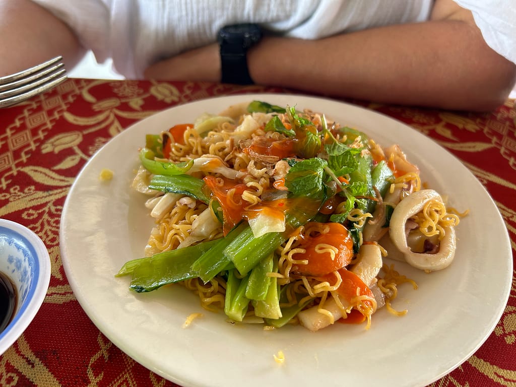
Shortly after that we rode by an open-air restaurant, Quan Bo Ho. Several Vietnamese were enjoying a leisurely lunch, and they called out to us and waved. Charmed, we decided to stop here to experience the local cuisine. A teenager with a smart phone took our order, using Google Translate to speak with us. He handed us an extensive menu but eventually communicated that they were only serving one item: fried noodles with seafood. It was delicious! There was a bed of thin wavy noodles mixed with carrots, some variation of bok choi, and fresh mint. Scattered around were shrimp and the best, freshest squid I’ve ever tasted.
We hopped back on our motorcycle to continue our journey. We headed west through rice paddies and across Go Noi Island. It is called an island because it is surrounded on all sides by arms of the Thu Bon River. I didn’t realize it at the time, but this was an active area during the Vietnam War. It is painful to imagine the peaceful, idyllic life being torn apart by bullets and bombs.
As we neared our destination, the extreme heat caught up to us. The temperature topped 100 degrees F, and although there was a cool breeze from the river, we were both feeling a bit tired. We had been following Google Maps reliably, but it decided to act up and send us on a bit of a wild goose chase through the rice paddies. Fortunately a friendly rice farmer knew what was going on and waved us around. “No, no, My Son, this way!” It was with great relief that we found our way back to the main road and saw a head painted sign pointing the way.
Touring the My Son Sanctuary UNESCO Site
Finally, we arrived at My Son Sanctuary. At the entrance, there is a large covered area for motorcycle parking (5,000 VND) and a ticket booth (150,000 VND per person). There were also restroom facilities, a few restaurants, a gift shop, demonstration booths, and a museum. Unfortunately, the demos were all over for the day and the museum was closed.
We walked a short distance past the entry gate and over a bridge to where we found some electric trams waiting to take us up to the archaeology site. It is a 2 km uphill walk through the jungle to reach the site, so we were grateful for the ride. At the top of the hill a paved loop leads off into the trees. We set off and a few minutes later finally reached the first ruins.
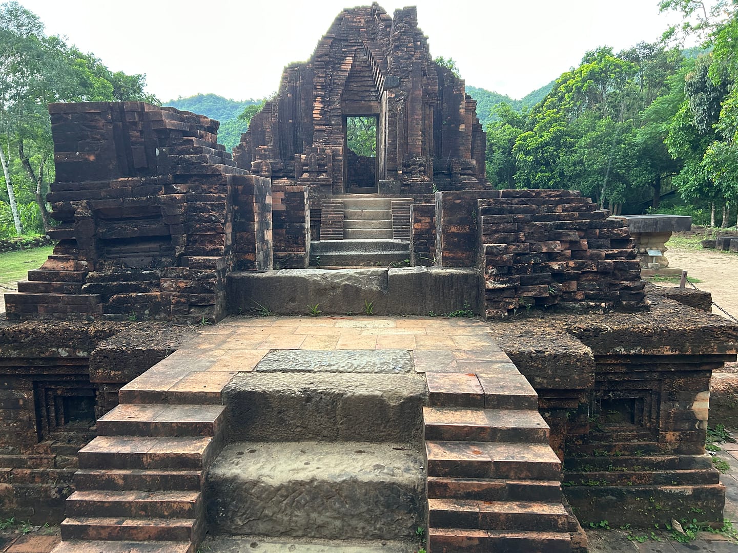
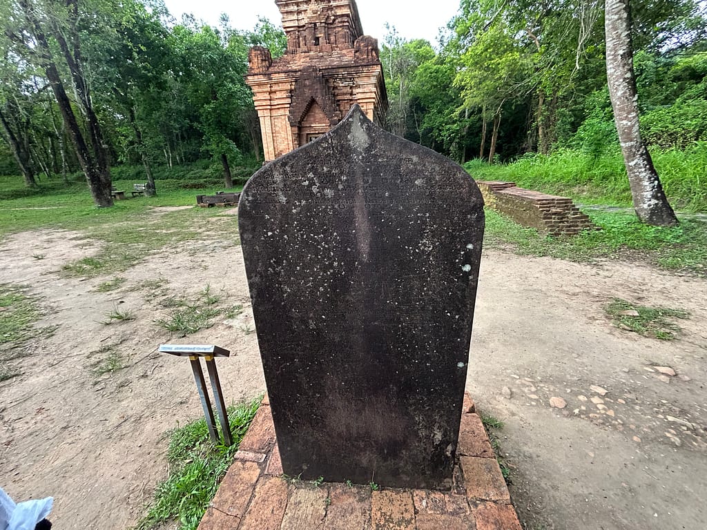
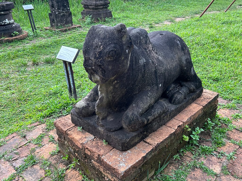
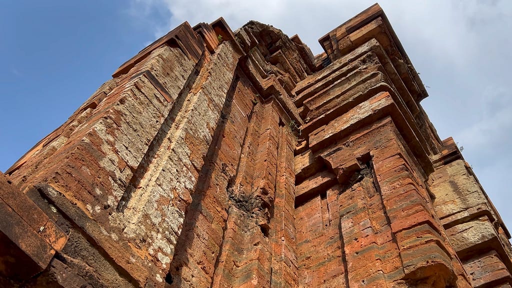
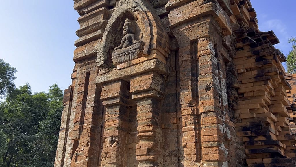
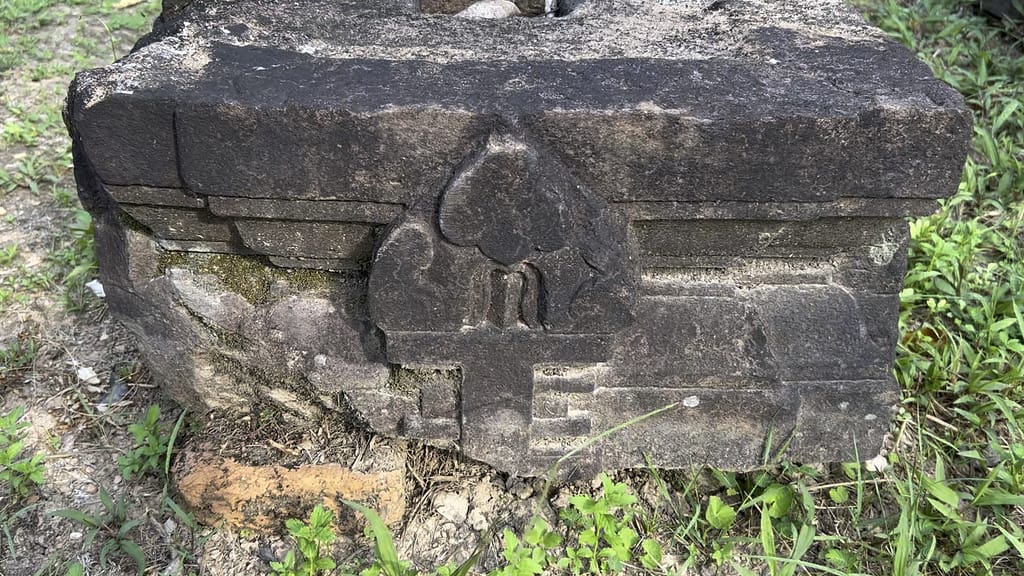
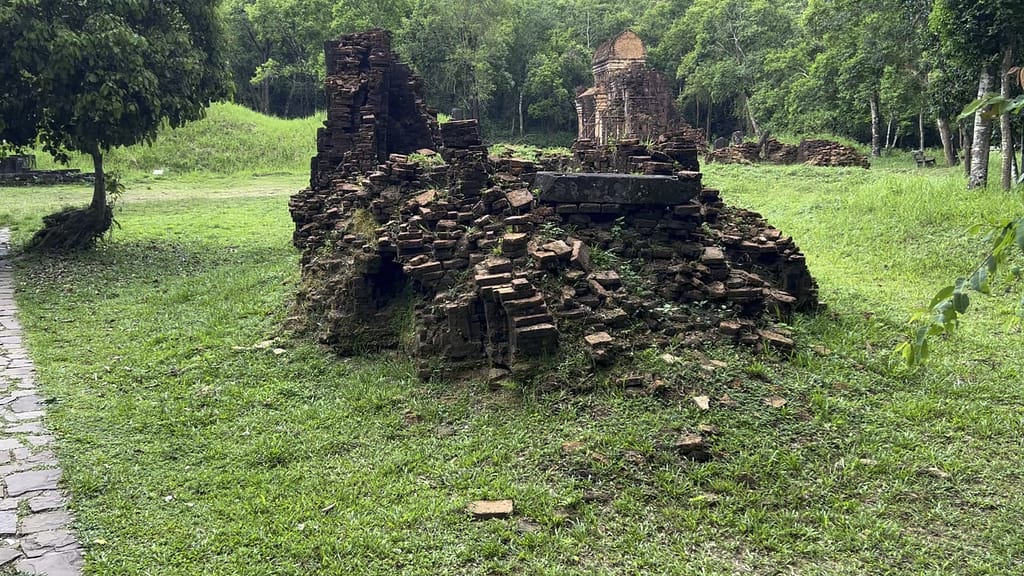
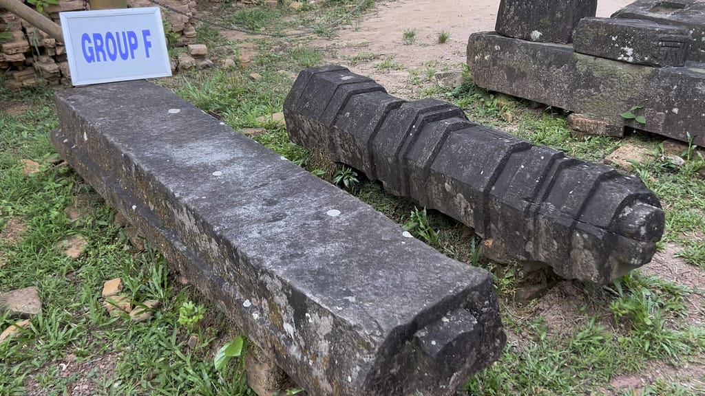
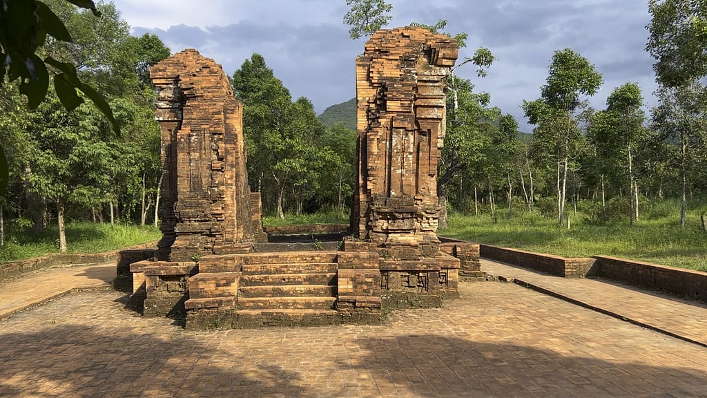
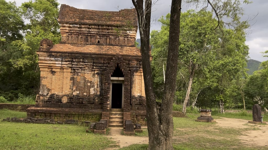
My Son Sanctuary is truly an incredible place with an amazing history. It was the capital of the Champa Kingdom, a civilization that ruled this area of central Vietnam beginning in 192 C.E. The people practiced a form of Hinduism and many of the structures have scenes from Hindu mythology. Many buildings are tower temples, built from fired bricks and stone pillars, with elaborate carvings done on sandstone. The buildings have been dated from the 4th to the 13th century, and evidence shows that there was continual development at the site. It is awe-inspiring to see the remains of a complex civilization built thousands of years ago.
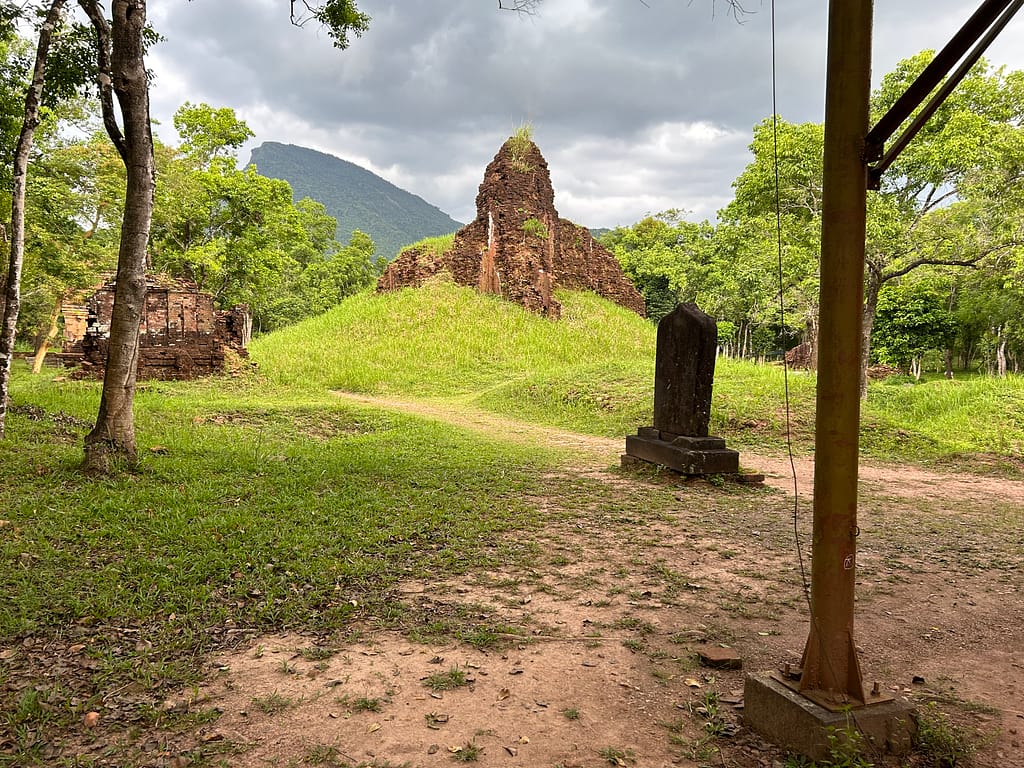
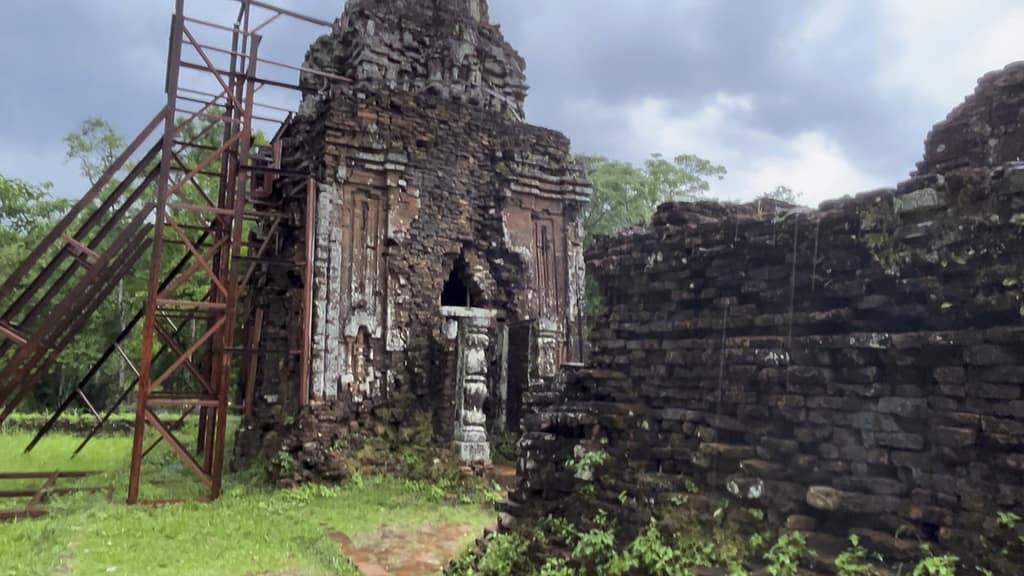
Here at the My Son Sanctuary there is also evidence of more recent history. During the Vietnam War, the area was used as a base by the People’s Army of Vietnam and the Viet Cong. In August 1969, it was heavily bombed by the US. A few of the structures were completely destroyed by bombs, and others were made unstable and are now braced by scaffolding. There are several bomb craters visible throughout the site, and there may still be unexploded landmines in the surrounding jungle. It is true that war has been an unfortunate part of human civilization forever. It was a war between another group that drove the Cham people out of My Son. But as our technology advances, so does the destructiveness of our wars, and that is a somber thought.
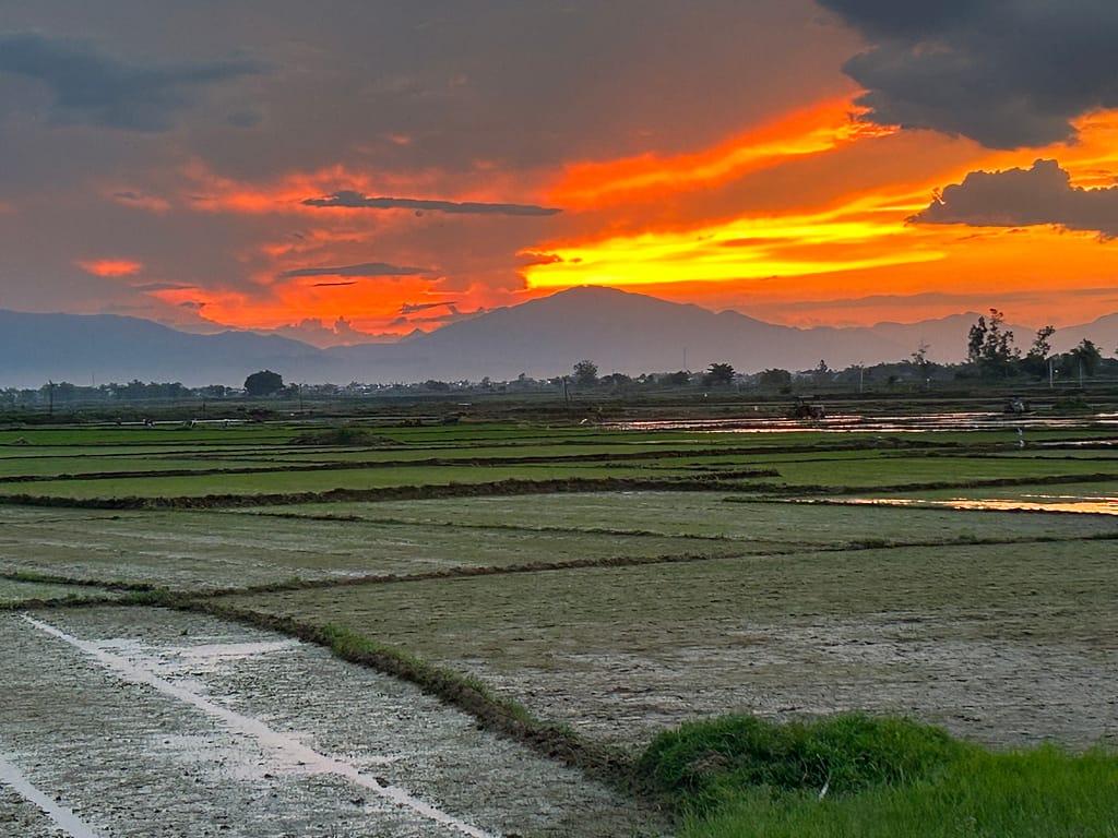
As it was getting late, we returned to Hoi An via the fastest route, sticking to the main roads but avoiding the highways (where motorcycles are banned). It was clearly the end of the workday for the Vietnamese; on our return, we saw a steady stream of hundreds of motorcyclists returning home for the day. As we made our last turn before getting to the New Cam Kim Bridge, we saw the most beautiful sight. The sun was setting behind the Da Nang mountains in the far distance, turning the sky a vibrant orange. It had just rained, and the fleeing clouds floated above. The rice had just been planted, and the few shoots coming up were a vivid green. Most of the paddies were water, and all the colors and clouds were reflected in them, doubling the beauty. A perfect way to end the perfect day!
The route to My Son is truly an adventure and a surprise awaits around each corner!
